Completed and ongoing Project History

American River Common Features General Re-evalution Project Southern Sacramento Valley California
Natomas Basin Levee Reach D
Vestal Drain reconfiguration, and window and pumping plant demo/update, Sutter County, California.
United States Army Corps of Engineers
Client: Maloney Construction
TRAC carried out monitoring, recordation of historic and prehistoric resources during large scale construction activities at the Natomas Cross Canal Reach D Levee. Excavation activities included excavation of a new vestal drain (canal up to 4 meters in depth, 18 meters wide, 2.5 kilometers long) through primarily undisturbed alluvial soils adjacent to the confluence of the Feather and Sacramento Rivers. Excavation activities also included the degrading of the Levee at the Northern and Bennett Windows, the removal of 1930s pumping plant infrastructure, and the infilling of the old vestal drain.
American River Common Features General Re-evalution Project Southern Sacramento Valley, California
Natomas Basin Levee Reach B.
United States Army Corps of Engineers
Client: Odin-Teichert Joint Venture
TRAC carried out monitoring, recordation of historic and prehistoric resources during large scale construction activities. The 2020 construction activities at Reach B caused adverse effects to 3 previously recorded cultural properties deemed eligible for the National Register of Historic Places. TRAC hired and supervised two osteologists with M.A.s to provide non human bone ID’s and to assist with cultural resource monitoring at multiple locations. TRAC also provided 1/8” fraction sampling of spoils material to verify absence of cultural material and human remains.


Hurlburt Field Air Force Base Okaloosa County FL
Identification and Evaluation of
Archaeological Sites at Hurlburt Field Florida
The TRAC field team excavated 796 shovel tests across the 963 acres to complete the Phase I survey of the Task (I) parcels. These surveys extended the boundary of four previously recorded sites. This survey also recorded six new archaeological sites. The Phase I Survey also included a pedestrian survey of ~750 acres of DOD property with extremely dense vegetation
The shovel testing survey across the Task (2) parcels executed 193 shovel test pits and located an additional archaeological site. All shovel testing carried out in the 736-acre parcel was supported by Oneida SRS UXO staff
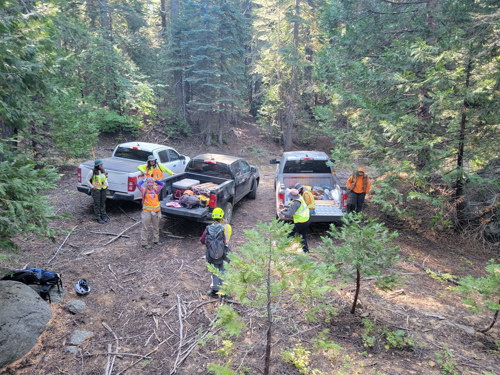
Stanisluas National Forest Survey
SERAL Phase 3 Fire Management Fuels, Task Order 7-1, Tuolumne County, California.
Project included a 6,386-acres survey area within the Stanislaus National Forest on behalf of Tuolumne County via SERAL funding.
Newly recorded resources and many previously recorded resources were flagged and recorded using Stanislaus National Forest Contractor Standards guidelines and the USDA Pacific Southwest Region 5 Programmatic Agreement (2018) to complete CA DPR forms. As part of project work, received safety training for high risk rugged and remote work environments.